Gillies Bay, BC, Canada
Landing Point · CA Canada
1
Connected Cables
CA
Country
49.68°
Latitude
124.49°
Longitude
Ctrl + Scroll to zoom
Connected Cables
| Cable | Status |
|---|---|
| Connected Coast | Active |
Live Performance
10
measurements
6
probes
23
days monitored
144.9
ms avg RTT
0
anomalies
RTT measurements to this landing point from 2026-06-07 through 2026-06-30 - live ICMP round-trip time via our monitoring probes. Recomputed daily. ✓ No anomalies detected in the monitored period.
Measurement sources
| Probe | Location | Samples | Avg |
|---|---|---|---|
| #6487 | control probe | 2 | 176.8 ms |
| #7062 own probe | Cape Town ZA | 2 | 217.2 ms |
| own probe | Minsk BY | 2 | 103.4 ms |
| own probe | Moscow RU | 2 | 114.4 ms |
| own probe | Saint Petersburg RU | 1 | 108.0 ms |
| own probe | Odessa UA | 1 | 117.4 ms |
About Gillies Bay, BC, Canada
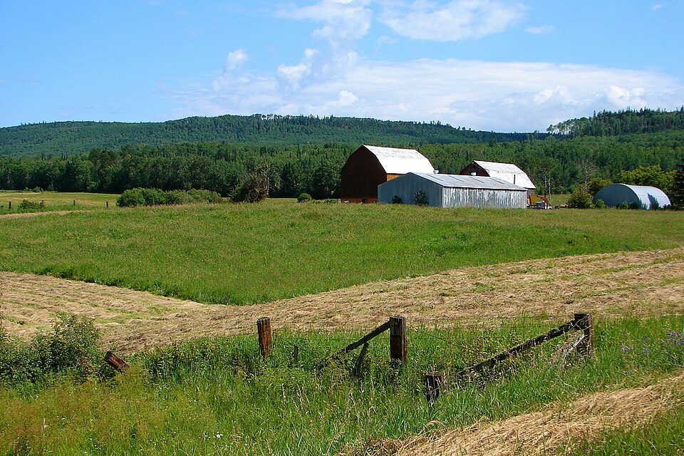
Gillies Bay, BC: A Small Link in Canada's Coastal Connectivity
Gillies Bay, located on Texada Island in British Columbia, is a quiet landing point for Canada's submarine cable network. While it hosts just one cable, Connected Coast, this landing point plays a role in stitching together the intricate web of connectivity along the province's rugged coastline. The cable, set to be ready for service in 2024, is entirely domestic, connecting 108 points across British Columbia without extending beyond Canada’s borders.Connected Coast: A Coastal Lifeline
The Connected Coast cable is designed to serve remote and underserved communities along British Columbia's coastline. Gillies Bay is one of its landing points, linking Texada Island to a network that spans from Addenbroke Island and Bella Bella to Campbell River and Vancouver. This cable provides a critical pathway for local communities to access faster internet speeds and improved digital services, fostering opportunities for education, healthcare, and business growth. Gillies Bay’s role in this network is modest compared to major hubs like Vancouver, which hosts two cables and serves as a gateway to international connectivity. However, its inclusion in the Connected Coast project highlights the importance of ensuring even small communities are part of the digital landscape. For Texada Island, this cable is a step toward bridging the digital divide that often separates rural areas from urban centers.Latency Insights: Measuring the Connection
GeoCables’ unique latency measurements reveal that the average round-trip latency from Gillies Bay to six monitored source cities is 145 milliseconds, with the best observed latency at 103 milliseconds. These figures demonstrate reliable connectivity for local users, enabling smooth access to online services and communication. While not as fast as connections in more urbanized areas, this performance is a significant improvement for a remote island community.Positioning Gillies Bay Among Regional Peers
Gillies Bay stands out for its simplicity in a region with more complex landing points. Nearby Vancouver, a major urban hub, hosts two cables and serves as a critical node for both domestic and international traffic. Similarly, Prince Rupert, another British Columbia landing point, also hosts two cables, reinforcing its role as a regional connector. In contrast, Gillies Bay is part of a chain of smaller landing points, such as Addenbroke Island, which also hosts just one cable. Together, these points form a patchwork of connectivity along British Columbia’s coastline, ensuring even remote areas have access to digital infrastructure. This decentralized approach reflects the unique geography of the region, where rugged terrain and scattered islands make centralized hubs impractical.Conclusion
Gillies Bay may not be a major player in Canada’s submarine cable network, but its inclusion in the Connected Coast project is a testament to the country’s commitment to connecting even its most remote communities. For Texada Island, this cable represents a new era of digital opportunity, linking local residents to the broader world while respecting the island’s quiet, rural character. As the cable becomes operational in 2024, Gillies Bay will take its place in the growing web of connectivity that defines Canada’s coastal regions.What next: Gillies Bay, BC, Canada in the global directory of cable landing points; see surrounding routes on the interactive submarine cable map or follow live network monitoring.
Other Landing Points in Canada
CA Addenbroke Island, BC, Canada
51.6032°N 127.8637°W
CA Ahousat, BC, Canada
49.2763°N 126.0563°W
CA Akulivik, QC, Canada
60.8177°N 78.1442°W
CA Alert Bay, BC, Canada
50.5884°N 126.9263°W
CA Aupaluk, QC, Canada
59.3057°N 69.5975°W
CA Aylesford, NS, Canada
45.0895°N 64.9483°W
CA Baie-Comeau, QC, Canada
49.2210°N 68.1525°W
CA Bamfield, BC, Canada
48.8328°N 125.1415°W
CA Bella Bella, BC, Canada
52.1612°N 128.1447°W
CA Bella Coola, BC, Canada
52.3721°N 126.7528°W
CA Bic, QC, Canada
48.3728°N 68.7093°W
CA Blind Channel, BC, Canada
50.4128°N 125.5034°W
Landing Point
- CountryCA Canada
- Coordinates49.6779°N 124.4889°W
- Connected Cables1
See Real Cable Routes
View actual submarine cable routing from Gillies Bay, BC, Canada - with backbone nodes, distance calculations, and latency estimates
Open Calculator →
Submarine cables
Land fiber
Live probes