Xepenehe, New Caledonia
Landing Point · NC New Caledonia
Connected Cables
| Cable | Status |
|---|---|
| Picot-1 | Active |
Live Performance
RTT measurements to this landing point from 2026-03-22 through 2026-09-04 - live ICMP round-trip time via our monitoring probes. Recomputed daily. ✓ No anomalies detected in the monitored period.
Measurement sources
| Probe | Location | Samples | Avg |
|---|---|---|---|
| own probe | Minsk BY | 4 | 3.2 ms |
| own probe | Almaty KZ | 4 | 3.2 ms |
| own probe | Tbilisi GE | 4 | 25.3 ms |
| own probe | Jerusalem IL | 4 | 13.3 ms |
| #6410 own probe | Sao Paulo BR | 1 | 0.7 ms |
| #6427 own probe | Sydney AU | 1 | 0.9 ms |
| own probe | Moscow RU | 1 | 0.4 ms |
| own probe | Odessa UA | 1 | 0.8 ms |
| own probe | Balancer IL | 1 | 61.2 ms |
About Xepenehe, New Caledonia
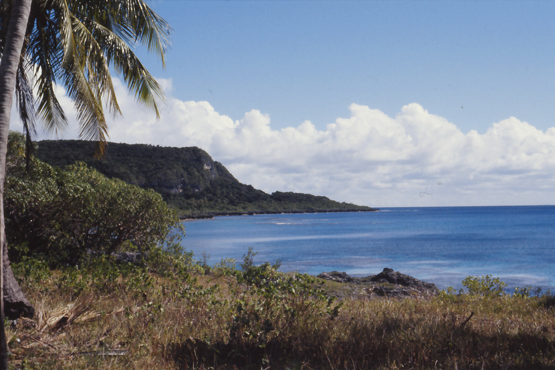
Xepenehe, New Caledonia: Submarine Cable Landing Point
Xepenehe is a submarine cable landing point located in New Caledonia, a French territory in the southwestern Pacific Ocean. As a coastal community, it forms part of New Caledonia's broader submarine cable network, which spans nine landing points distributed across the territory's main island and outer islands. One submarine cable lands at Xepenehe, connecting it to the intra-territorial network that links dispersed communities across the archipelago.
The cable serving Xepenehe is Picot-1, a domestic submarine cable that connects multiple points within New Caledonia itself. Rather than providing intercontinental or inter-regional connectivity, Picot-1 represents an inter-island or intra-territorial link, enabling connectivity between locations within the same country. This configuration reflects the geographic realities of New Caledonia, where island communities rely on submarine infrastructure to maintain communications links that overland routes cannot provide.
Cables Landing at Xepenehe
Picot-1 reached ready-for-service status in 2008, marking the introduction of submarine cable infrastructure at Xepenehe. The cable connects landing points entirely within New Caledonia, making it a domestic intra-territorial system. No cable length or additional technical specifications are recorded for Picot-1 beyond its RFS year and domestic routing. As a draft-status cable, it represents one of the foundational links in New Caledonia's internal submarine network, established in the same year the territory first saw submarine cable operations.
Regional Context
Among New Caledonia's nine landing points, Xepenehe sits alongside several other single-cable locations, including Mont-Dore, Mouly, Poindimie, Tadine, and Vao, each of which also hosts one cable. Noumea, the territory's most connected landing point, hosts two cables and stands apart as the leading hub in New Caledonia's submarine network. Xepenehe's position is broadly representative of the majority of landing points across the territory, where single-cable connectivity is the norm outside of Noumea.
Network Role
Xepenehe functions as a single-cable terminus within New Caledonia's domestic submarine cable network. Its connection via Picot-1 enables intra-territorial communication between geographically separated communities, reflecting the role submarine cables play in bridging island locations where no terrestrial alternatives exist. The landing point does not serve as a gateway to international networks but contributes to the internal architecture that binds New Caledonia's scattered coastal and island communities together.
Within the regional submarine cable graph, Xepenehe represents one of several equivalent single-cable nodes that collectively distribute connectivity across New Caledonia, ensuring that communities beyond the main urban center at Noumea maintain access to the territory's cable network.
What next: Xepenehe, New Caledonia in the global directory of cable landing points; see surrounding routes on the interactive submarine cable map or follow live network monitoring.
Other Landing Points in New Caledonia
Landing Point
- CountryNC New Caledonia
- Coordinates20.7809°S 167.1513°E
- Connected Cables1
See Real Cable Routes
View actual submarine cable routing from Xepenehe, New Caledonia - with backbone nodes, distance calculations, and latency estimates
Open Calculator →