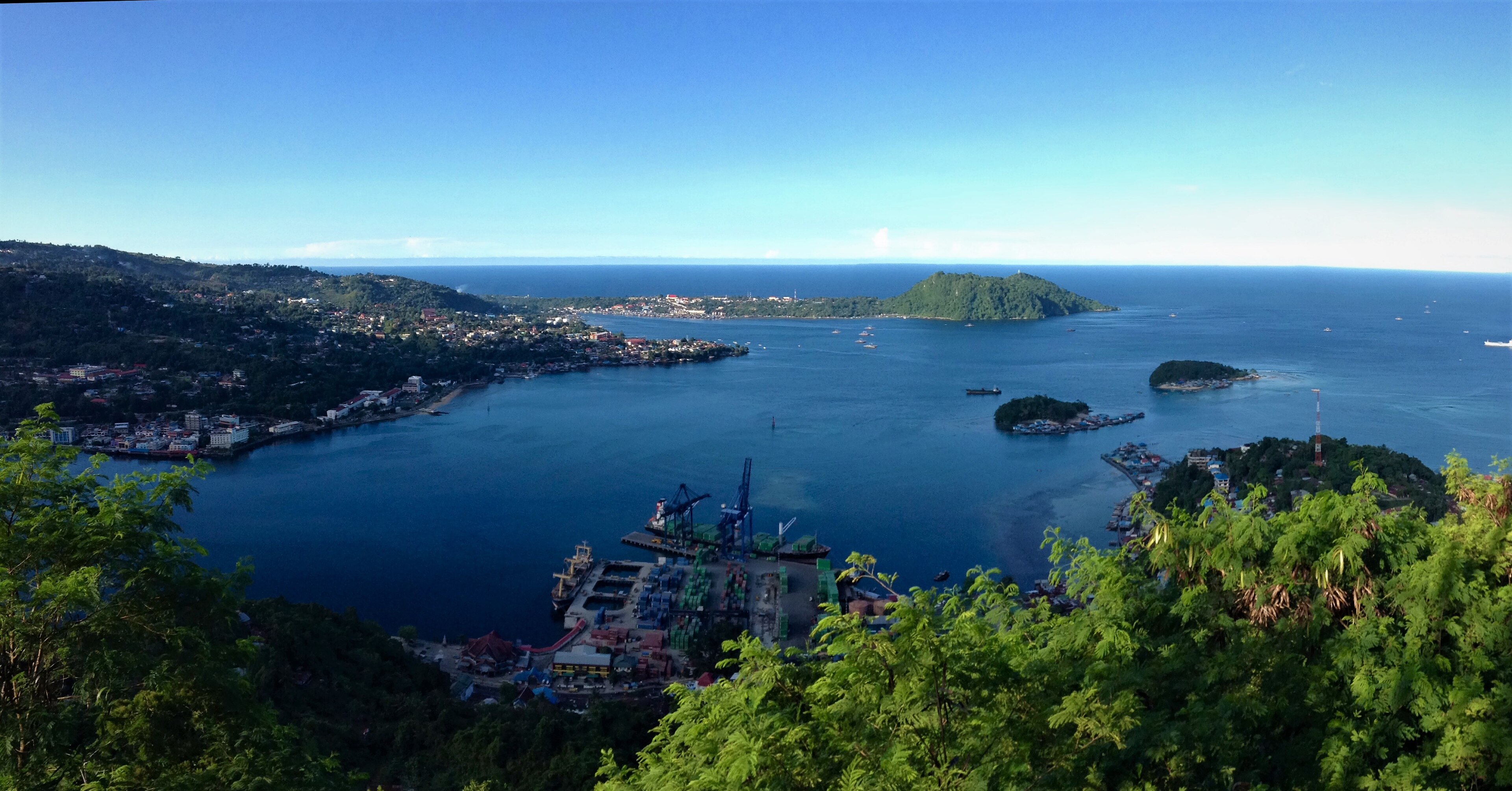
Vanimo, Papua New Guinea
Landing Point · PG Papua New Guinea
Connected Cables
| Cable | Status |
|---|---|
| Kumul Domestic Submarine Cable System | Active |
| Pukpuk-1 Cable System | Planned |
📡 Live Performance
RTT measurements to this landing point from 2026-03-10 through 2026-06-21 - live ICMP round-trip time via our monitoring probes. Recomputed daily. ✓ No anomalies detected in the monitored period.
Measurement sources
| Probe | Location | Samples | Avg |
|---|---|---|---|
| #1014589 own probe | Almaty KZ | 6 | 223.2 ms |
| #6427 own probe | Sydney AU | 4 | 384.5 ms |
| #6487 own probe | Singapore SG | 4 | 133.8 ms |
| #6410 own probe | Sao Paulo BR | 3 | 401.1 ms |
| #7062 own probe | Cape Town ZA | 2 | 572.1 ms |
| #1014473 own probe | Minsk BY | 2 | 180.8 ms |
| #1014597 own probe | Tbilisi GE | 2 | 248.3 ms |
| #1014969 own probe | Jerusalem IL | 1 | 261.2 ms |
| #1015313 own probe | Sevastopol UA | 1 | 182.7 ms |
About Vanimo, Papua New Guinea
Vanimo, Papua New Guinea: Submarine Cable Landing Point
Vanimo is the capital of Sandaun Province, situated on a peninsula in the north-westernmost corner of Papua New Guinea, close to the border with Indonesia. As a coastal settlement, Vanimo serves as a submarine cable landing point, connecting it to the broader regional network of undersea infrastructure. One submarine cable currently lands at Vanimo, linking it to both domestic Papua New Guinea destinations and neighboring Indonesia.
The cable serving Vanimo is the Kumul Domestic Submarine Cable System, a substantial system that, given its endpoints in both Papua New Guinea and Indonesia, enables a cross-border corridor between these two nations. Vanimo's proximity to Indonesia — and specifically to Jayapura, the capital of Papua province across the border — makes it a geographically logical point for a system that spans both countries.
Cables Landing at Vanimo
The Kumul Domestic Submarine Cable System is the sole submarine cable landing at Vanimo. With a total length of 5,457 km, this system reached ready-for-service status in 2019 and carries a draft status designation. The cable connects landing points across Papua New Guinea and extends to Indonesia, making it one of the longer domestic-focused cable systems in the region. Its reach across both Papua New Guinea and Indonesia positions the Vanimo landing as a point on an inter-country as well as domestic corridor.
Regional Context
Within Papua New Guinea's submarine cable landscape, which spans 15 landing points, Vanimo hosts a single cable — placing it alongside several other single-cable landing points in the country, including Alotau, Arawa, Daru, and Kavieng. Port Moresby leads the national network with four cables, while Madang hosts two. Vanimo's position reflects that of a regional coastal terminus rather than a multi-cable hub, consistent with the single-cable profile shared by a number of Papua New Guinea's outlying landing points.
Network Role
Vanimo functions as a single-cable terminus on the Kumul Domestic Submarine Cable System, anchoring the north-western edge of Papua New Guinea's undersea network. Through this connection, the landing point participates in a corridor that spans both domestic Papua New Guinea routes and a cross-border link to Indonesia, covering a combined cable length of 5,457 km. The system's 2019 ready-for-service date places it among the more recent additions to Papua New Guinea's submarine cable infrastructure, which began with its first cable in 2009.
As a terminus point on a cable that bridges two countries, Vanimo contributes a geographically distinct node to the Papua New Guinea submarine cable graph — one that extends the national network to its north-western border and establishes a direct undersea pathway toward Indonesian territory.
Other Landing Points in Papua New Guinea
Landing Point
- CountryPG Papua New Guinea
- Coordinates2.6897°S 141.2999°E
- Connected Cables2
See Real Cable Routes
View actual submarine cable routing from Vanimo, Papua New Guinea - with backbone nodes, distance calculations, and latency estimates
Open Calculator →