Santa Ponsa, Spain
Landing Point · ES Spain
Connected Cables
| Cable | Status |
|---|---|
| Romulo | Active |
Live Performance
RTT measurements to this landing point from 2026-04-08 through 2026-08-10 - live ICMP round-trip time via our monitoring probes. Recomputed daily. ✓ No anomalies detected in the monitored period.
Measurement sources
| Probe | Location | Samples | Avg |
|---|---|---|---|
| own probe | Minsk BY | 6 | 59.6 ms |
| #6427 own probe | Sydney AU | 5 | 250.6 ms |
| #6487 | control probe | 5 | 182.8 ms |
| own probe | Odessa UA | 4 | 73.6 ms |
| own probe | Jerusalem IL | 3 | 97.7 ms |
| own probe | Kyiv UA | 2 | 61.8 ms |
| own probe | Almaty KZ | 1 | 111.8 ms |
| own probe | Tbilisi GE | 1 | 83.1 ms |
About Santa Ponsa, Spain
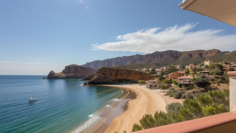
Santa Ponsa: Submarine Cable Landing Point
Santa Ponsa is a small town situated in the southwest of Mallorca, within the municipality of Calvià, approximately 18 kilometres from the island's capital, Palma. As part of the Balearic Islands, Santa Ponsa sits in the western Mediterranean, and its status as a submarine cable landing point reflects the need to connect island territories to mainland and broader Spanish telecommunications infrastructure. One submarine cable lands at Santa Ponsa, linking it directly into the regional cable network.
The single cable serving Santa Ponsa is Romulo, a domestic Spanish cable that connects points within Spain. This intra-national connection positions Santa Ponsa as part of a corridor designed to serve island connectivity rather than intercontinental or cross-border communications. The Romulo cable represents an important domestic link for Mallorca, tying the island into Spain's broader undersea cable infrastructure.
Cables Landing at Santa Ponsa
Romulo is a submarine cable with a length of 237 km, which reached ready-for-service (RFS) status in 2011, with its current status recorded as draft. The cable connects landing points within Spain, making it a domestic system linking Spanish territories. With its relatively short length, Romulo is characteristic of an inter-island or island-to-mainland route designed to serve regional connectivity needs within the Spanish national network. No additional landing countries beyond Spain are associated with this cable.
Regional Context
Within Spain's submarine cable landscape, Santa Ponsa is served by a single cable, placing it among the less-connected landing points compared to peers such as Barcelona, which hosts three cables, and Alta Vista, Bilbao, Candelaria, Conil de la Frontera, and Granadilla de Abona, each of which serves two cables. Santa Ponsa's single-cable status reflects its role as a terminus serving Mallorca's domestic connectivity rather than a hub for multiple international or regional routes.
Network Role
Santa Ponsa functions as a single-cable terminus, providing Mallorca with a dedicated submarine link into Spain's national cable network via the Romulo system. Rather than serving as a convergence point for multiple cable systems or international traffic, the landing point fulfils a focused domestic role, ensuring that the island of Mallorca maintains a physical undersea connection to other Spanish territories. The cable's 237 km length and intra-Spanish routing underscore this function as a regional, island-serving connection.
Within the broader Spanish submarine cable graph, Santa Ponsa represents the importance of dedicated island landing points in ensuring that geographically separated territories such as the Balearic Islands maintain reliable undersea connectivity to the mainland network, complementing the multi-cable hubs found at other Spanish landing locations.
What next: Santa Ponsa, Spain in the global directory of cable landing points; see surrounding routes on the interactive submarine cable map or follow live network monitoring.
Other Landing Points in Spain
Landing Point
- CountryES Spain
- Coordinates39.5000°N 2.4628°E
- Connected Cables1
See Real Cable Routes
View actual submarine cable routing from Santa Ponsa, Spain - with backbone nodes, distance calculations, and latency estimates
Open Calculator →