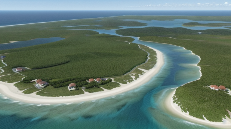
Port Vila, Vanuatu
Landing Point · VU Vanuatu
Connected Cables
| Cable | Status |
|---|---|
| Interchange Cable Network 1 (ICN1) | Active |
| Tamtam | Planned |
About Port Vila, Vanuatu
Port Vila, Vanuatu: Submarine Cable Landing Point
Port Vila is the capital of Vanuatu and its largest city, situated on the island of Efate in Shefa Province. As Vanuatu's primary urban centre, it serves as the country's most connected submarine cable landing point, hosting two of the cables that reach Vanuatu. These connections link the nation to its Pacific neighbours, enabling regional submarine cable corridors that extend to Fiji and New Caledonia.
The two cables landing at Port Vila are the Interchange Cable Network 1 (ICN1) and Tamtam. Together they represent Vanuatu's first submarine cable connection, established in 2014, as well as a newer system scheduled to become ready for service in 2027. This combination of an established cable and an incoming system makes Port Vila the leading landing point in Vanuatu by cable count.
Cables Landing at Port Vila
Interchange Cable Network 1 (ICN1) is a 1,259-kilometre submarine cable that became ready for service in 2014. In addition to Port Vila, ICN1 lands in Fiji, forming a direct bilateral connection between Vanuatu and Fiji across the South Pacific. It represents Vanuatu's earliest submarine cable link and the foundation of the country's international subsea connectivity.
Tamtam is a 411-kilometre submarine cable with a scheduled ready-for-service date of 2027. Alongside Port Vila, Tamtam connects to New Caledonia and has at least one additional landing point within Vanuatu itself. The shorter length of this cable reflects the relatively compact distances between Vanuatu and New Caledonia, positioning Tamtam as a regional intra-Pacific system serving the southwestern Pacific island corridor.
Regional Context
Within Vanuatu, submarine cable infrastructure is distributed across four landing points: Port Vila, Luganville, Norsup, and Tanna, each of the latter three hosting a single cable. Port Vila is the only landing point in the country to host more than one cable, distinguishing it from the other Vanuatu landing points in terms of connectivity depth.
Network Role
Port Vila functions as a multi-cable hub within the Vanuatu submarine cable network, contrasting with the single-cable terminus status of the country's other landing points. Through ICN1, it maintains a direct link eastward to Fiji, while Tamtam, on its completion in 2027, will extend connectivity westward to New Caledonia. This dual orientation gives Port Vila connections running in two directions across the southwestern Pacific.
With Vanuatu's national submarine cable infrastructure spanning just two cables across four landing points, Port Vila's position as the sole location where both cables converge makes it the most connected node in the country's subsea network graph.
What next: Port Vila, Vanuatu in the global directory of cable landing points; see surrounding routes on the interactive submarine cable map or follow live network monitoring.
Other Landing Points in Vanuatu
Landing Point
- CountryVU Vanuatu
- Coordinates17.7303°S 168.3228°E
- Connected Cables2
See Real Cable Routes
View actual submarine cable routing from Port Vila, Vanuatu - with backbone nodes, distance calculations, and latency estimates
Open Calculator →