Mariehamn, Finland
Landing Point · FI Finland
Connected Cables
| Cable | Status |
|---|---|
| BCS North - Phase 1 | Active |
Live Performance
RTT measurements to this landing point from 2026-03-16 through 2026-09-19 - live ICMP round-trip time via our monitoring probes. Recomputed daily. ✓ No anomalies detected in the monitored period.
Measurement sources
| Probe | Location | Samples | Avg |
|---|---|---|---|
| own probe | Minsk BY | 17 | 36.6 ms |
| own probe | Moscow RU | 15 | 29.7 ms |
| #6410 own probe | Sao Paulo BR | 11 | 226.5 ms |
| #6427 own probe | Sydney AU | 11 | 280.6 ms |
| own probe | Kyiv UA | 8 | 40.6 ms |
| own probe | Tbilisi GE | 5 | 71.6 ms |
| own probe | Jerusalem IL | 4 | 77.6 ms |
| own probe | Almaty KZ | 3 | 69.5 ms |
| own probe | Saint Petersburg RU | 2 | 14.2 ms |
| own probe | Sevastopol UA | 1 | 59.4 ms |
About Mariehamn, Finland
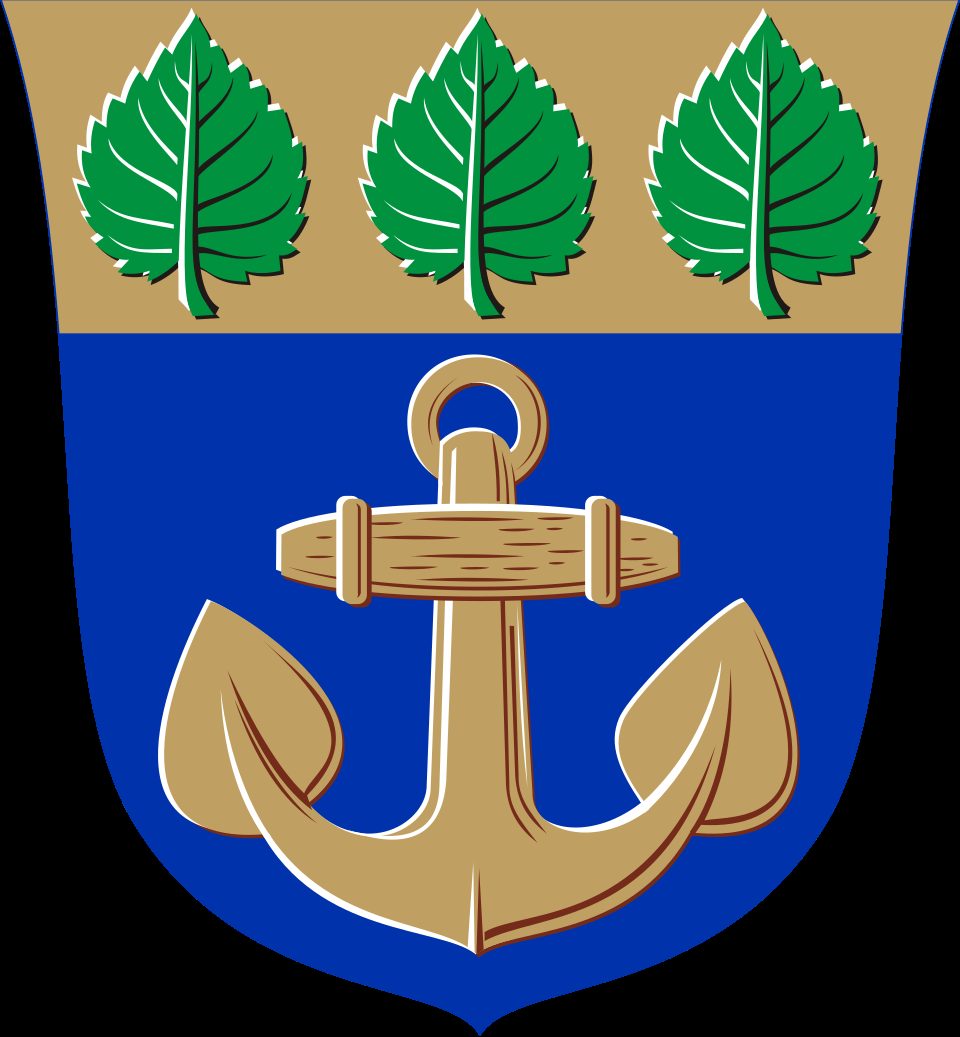
Mariehamn, Finland: Submarine Cable Landing Point
Mariehamn is the capital of Åland, an autonomous region of Finland, situated in the Baltic Sea. As a coastal settlement with submarine cable infrastructure, it participates in Finland's broader network of eleven landing points that collectively host fifteen submarine cables. One submarine cable lands at Mariehamn, connecting it to the regional Baltic corridor that links Finland and Sweden.
The single cable landing here, BCS North - Phase 1, establishes a cross-Baltic connection between Finnish and Swedish territory. While Mariehamn ranks in the upper half of Finland's eleven landing points by cable count, its role is that of a focused, single-cable terminus rather than a multi-cable hub. The corridor enabled by this landing point is regional in character, spanning the Baltic Sea between two neighboring Nordic countries.
Cables Landing at Mariehamn
BCS North - Phase 1 is a submarine cable with a length of 513 km that reached ready-for-service status in 1998. The cable connects landing points in Finland and Sweden, forming a bilateral link across the Baltic Sea. Mariehamn serves as one of the Finnish termination points on this system. With a route spanning over five hundred kilometres, BCS North - Phase 1 represents one of the longer cables in Finland's submarine cable portfolio, which has an average cable length of 333 km across all domestic landing points.
Regional Context
Within Finland's eleven submarine cable landing points, Mariehamn sits alongside a range of peers that vary considerably in scale. Helsinki leads with ten cables, followed by Hanko with four, while Espoo, Kotka, and Lokalahti each host two cables. Mariehamn shares the single-cable tier with Hamnäs, making it one of two landing points in Finland at that level. Despite its modest cable count, its position in the upper half of Finnish landing points by volume reflects the relatively distributed nature of Finland's submarine cable geography.
Network Role
Mariehamn functions as a single-cable terminus on the BCS North - Phase 1 system, providing a direct submarine connection between Finland and Sweden across the Baltic Sea. The landing point does not serve an intercontinental or multi-directional routing function; rather, it anchors one end of a defined bilateral Baltic corridor established in 1998. The cable's 513 km length places it well above the Finnish national average, indicating that this particular route spans a meaningful stretch of open water rather than a short nearshore connection.
In the regional submarine cable graph, Mariehamn's significance lies in extending Finland's cable footprint into the Åland archipelago, demonstrating that submarine cable infrastructure in the country is not concentrated solely at mainland urban centres but also reaches autonomous and island territories.
What next: Mariehamn, Finland in the global directory of cable landing points; see surrounding routes on the interactive submarine cable map or follow live network monitoring.
Incident history
Significant incidents on cables landing here, each with its own report.
- BCS North - Phase 1 cable: latency up to 2.4× normal, 17 Apr 2026 (resolved)
- BCS North - Phase 1 cable: latency up to 2.2× normal, 17 Apr 2026 (resolved)
Other Landing Points in Finland
Landing Point
- CountryFI Finland
- Coordinates60.1138°N 19.9379°E
- Connected Cables1
See Real Cable Routes
View actual submarine cable routing from Mariehamn, Finland - with backbone nodes, distance calculations, and latency estimates
Open Calculator →