Mahuma, Curaçao
Landing Point · CW Curaçao
1
Connected Cables
CW
Country
12.17°
Latitude
68.96°
Longitude
Ctrl + Scroll to zoom
Connected Cables
| Cable | Status |
|---|---|
| Pacific Caribbean Cable System (PCCS) | Active |
Live Performance
12
measurements
6
probes
1
days monitored
220.1
ms avg RTT
0
anomalies
RTT measurements to this landing point from 2026-07-13 through 2026-07-13 - live ICMP round-trip time via our monitoring probes. Recomputed daily. ✓ No anomalies detected in the monitored period.
Measurement sources
| Probe | Location | Samples | Avg |
|---|---|---|---|
| #6410 own probe | Sao Paulo BR | 2 | 153.0 ms |
| #6427 own probe | Sydney AU | 2 | 321.3 ms |
| #6487 | control probe | 2 | 284.1 ms |
| own probe | Minsk BY | 2 | 190.4 ms |
| own probe | Saint Petersburg RU | 2 | 178.1 ms |
| own probe | Kyiv UA | 2 | 193.6 ms |
About Mahuma, Curaçao
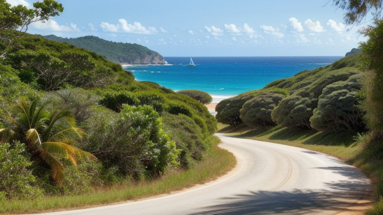
Mahuma, Curaçao: A Singular Gateway
Mahuma, a small locality in Curaçao, plays a unique role in the island's connectivity landscape. Unlike Willemstad, Curaçao's capital, which hosts six submarine cables, Mahuma is home to just one: the Pacific Caribbean Cable System (PCCS). This cable, operational since 2015, spans an impressive 6163 km and connects eight other landing points across the Americas and the Caribbean, including Aruba, Colombia, Ecuador, Panama, and the United States.The Pacific Caribbean Cable System: Connecting Mahuma to the World
The PCCS cable is a powerful link for Curaçao, extending Mahuma's reach far beyond the island's shores. While Willemstad serves as the primary hub for most of Curaçao's submarine cables, Mahuma's inclusion in the PCCS network ensures that the island's connectivity is not overly centralized. This diversification strengthens Curaçao's ability to maintain stable international communication, even in the event of disruptions at other landing points. The PCCS cable's chain connects Mahuma to major hubs like Jacksonville in the United States, Cartagena in Colombia, and Balboa in Panama. These connections facilitate data exchange across vast distances, supporting industries and services reliant on international communication. Curaçao's strategic location in the Caribbean positions Mahuma as a critical node in this regional network.Latency Insights: Measured Performance
GeoCables' latency monitoring reveals that Mahuma offers reliable connectivity, with an average round-trip latency of 220 milliseconds across 12 completed checks from six source cities. The best observed latency, 153 milliseconds, underscores the efficiency of the PCCS cable in delivering data across its extensive network. These measurements highlight Mahuma's role in maintaining consistent and competitive connectivity for Curaçao.Mahuma's Place in Curaçao's Connectivity Landscape
Curaçao hosts seven submarine cables across two landing points, with Mahuma accounting for one of these connections. The island's first cable became operational in 1999, and the average cable length is 2849 km. Mahuma's PCCS cable, at over twice this average length, emphasizes its importance in connecting Curaçao to distant regions. While Willemstad remains the dominant landing point with six cables, Mahuma's inclusion in the PCCS network ensures that Curaçao's connectivity infrastructure is distributed. This distribution is particularly valuable for maintaining resilience and redundancy in the face of potential challenges.Conclusion
Mahuma may not rival Willemstad in terms of cable density, but its role as a landing point for the Pacific Caribbean Cable System is significant. This single cable connects Curaçao to a broad international network, ensuring the island's participation in global communication and commerce. With reliable latency performance and strategic connections to major hubs, Mahuma stands as a quiet yet essential part of Curaçao's digital infrastructure.What next: Mahuma, Curaçao in the global directory of cable landing points; see surrounding routes on the interactive submarine cable map or follow live network monitoring.
Other Landing Points in Curaçao
Landing Point
- CountryCW Curaçao
- Coordinates12.1689°N 68.9569°W
- Connected Cables1
See Real Cable Routes
View actual submarine cable routing from Mahuma, Curaçao - with backbone nodes, distance calculations, and latency estimates
Open Calculator →
Submarine cables
Land fiber
Live probes