Herzeliyya, Israel
Landing Point · IL Israel
Connected Cables
| Cable | Status |
|---|---|
| Israel Coasting 1 (IC-1) | Active |
Live Performance
RTT measurements to this landing point from 2026-03-18 through 2026-10-01 - live ICMP round-trip time via our monitoring probes. Recomputed daily. ✓ No anomalies detected in the monitored period.
Measurement sources
| Probe | Location | Samples | Avg |
|---|---|---|---|
| own probe | Jerusalem IL | 11 | 5.5 ms |
| own probe | Tbilisi GE | 10 | 111.5 ms |
| #6410 own probe | Sao Paulo BR | 8 | 257.3 ms |
| #6427 own probe | Sydney AU | 8 | 319.6 ms |
| own probe | Balancer IL | 8 | 3.5 ms |
| own probe | Minsk BY | 2 | 80.8 ms |
| own probe | Almaty KZ | 2 | 158.2 ms |
| own probe | Sevastopol UA | 2 | 133.6 ms |
| own probe | Moscow RU | 1 | 97.4 ms |
About Herzeliyya, Israel
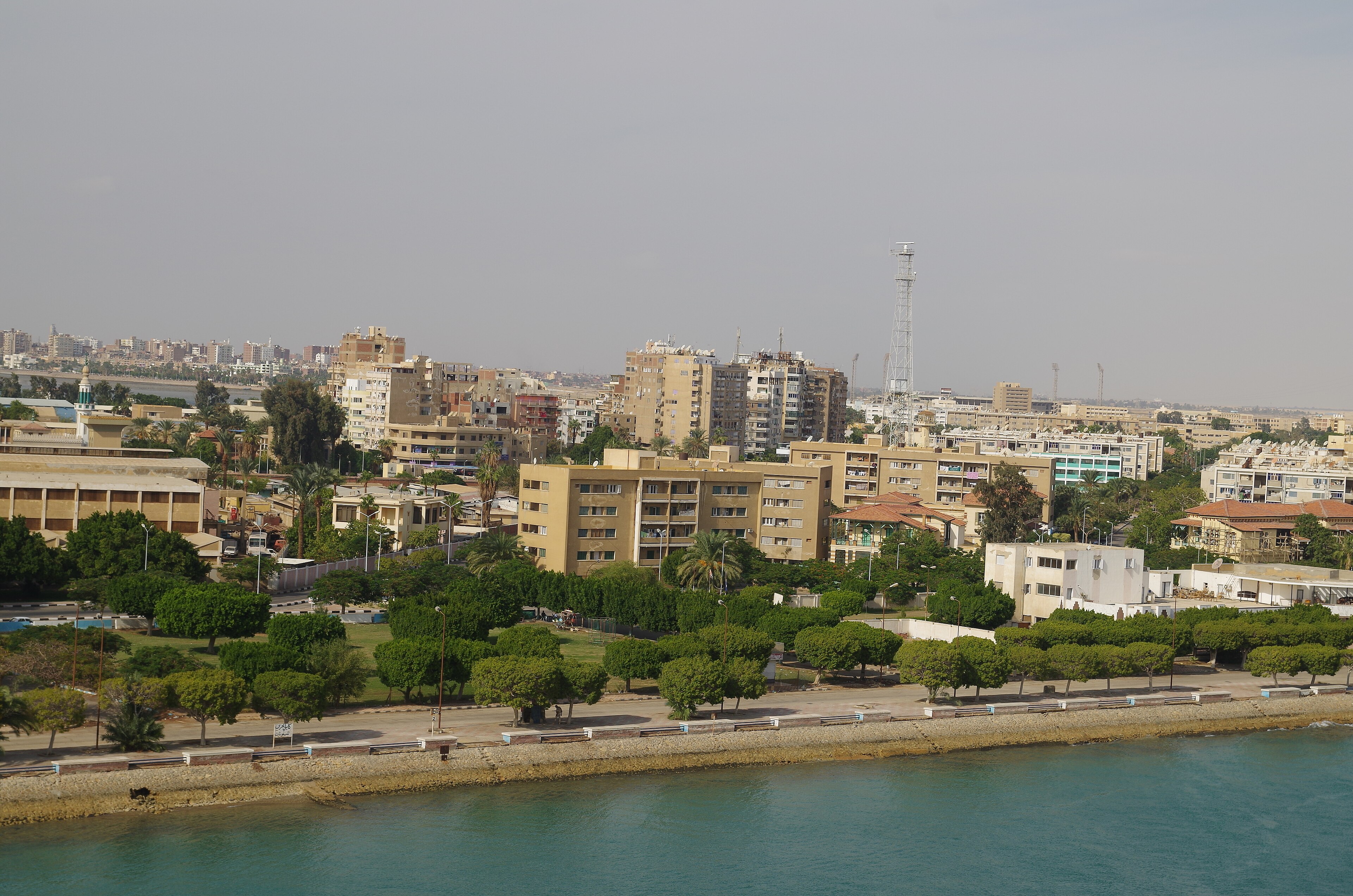
Herzeliyya, Israel is a submarine cable landing point in Israel. One international cable system comes ashore here.
Why cable lands at Herzeliyya
All 1 systems landing here are domestic: they tie Herzeliyya into Israel's national network rather than crossing a border. The gap they close is internal reach, not international capacity, which is why none of them touches a foreign shore.
The systems in detail
Documented capacity and vintage vary across the roster: Israel Coasting 1 (IC-1) (340 km and in service since 2000). Facts for every system are on its own cable page.
What the concentration means for resilience
A single system lands here, so this point is a genuine dependency rather than a redundant one. Because these systems share the same short stretch of coast and shore infrastructure, a localized event at the landing zone can reach far more capacity than the cable count alone suggests. GeoCables tracks each of these systems individually for exactly this reason.
What our monitoring has recorded
GeoCables watches these systems continuously rather than describing them once. Since 2026-03-10 we have logged 127 route anomalies across 71 cable systems worldwide. None of the systems landing here has triggered a route anomaly in that window, a stability signal in its own right for a hub of this size. This section updates automatically the moment that changes, as it already has for the 71 other systems flagged across our coverage.
Latency, measured
From the GeoCables probe network, best-case round-trip time to Israel endpoints runs about 75 ms from Minsk, about 72 ms from Almaty and about 97 ms from Moscow. These are paths into Israel from our own vantage points, not a global average, and they shift as operators re-route.
Who depends on it
The largest access networks in Israel sit behind this coastal capacity: Bezeq- THE ISRAEL TELECOMMUNICATION CORP. LTD. (27.1% of users), Partner Communications Ltd. (23.8% of users), Hot-Net internet services Ltd. (20.1% of users) and Cellcom Fixed Line Communication L.P (19.5% of users). See the full national picture for Israel.
The coast around Herzeliyya
This landing point is part of a wider shoreline of connectivity. Within roughly 200 kilometres, the coast also hosts Tel Aviv (15 km away, 4 cable systems), Netanya (20 km away, 2 cable systems) and Rishon Le’Zion (21 km away, 1 cable system). Each of these sites brings its own cables ashore, and together they define how much independent capacity, and how much redundancy, this stretch of Israel really has: if one landing fails or a cable needs maintenance, traffic can often be carried through a neighbour.
What next: Herzeliyya, Israel in the global directory of cable landing points; see surrounding routes on the interactive submarine cable map or follow live network monitoring.
Other Landing Points in Israel
Landing Point
- CountryIL Israel
- Coordinates32.1624°N 34.8447°E
- Connected Cables1
See Real Cable Routes
View actual submarine cable routing from Herzeliyya, Israel - with backbone nodes, distance calculations, and latency estimates
Open Calculator →