Great Level Bay, Bonaire, Sint Eustatius and Saba
Landing Point · BQ Sint Eustatius and Saba
Connected Cables
| Cable | Status |
|---|---|
| Saba, Statia Cable System (SSCS) | Active |
Live Performance
RTT measurements to this landing point from 2026-07-13 through 2026-07-13 - live ICMP round-trip time via our monitoring probes. Recomputed daily. ✓ No anomalies detected in the monitored period.
Measurement sources
| Probe | Location | Samples | Avg |
|---|---|---|---|
| #6410 own probe | Sao Paulo BR | 2 | 172.1 ms |
| #6427 own probe | Sydney AU | 2 | 314.4 ms |
| #6487 | control probe | 2 | 265.4 ms |
| own probe | Minsk BY | 2 | 172.1 ms |
| own probe | Saint Petersburg RU | 2 | 190.8 ms |
| own probe | Kyiv UA | 2 | 185.5 ms |
About Great Level Bay, Bonaire, Sint Eustatius and Saba
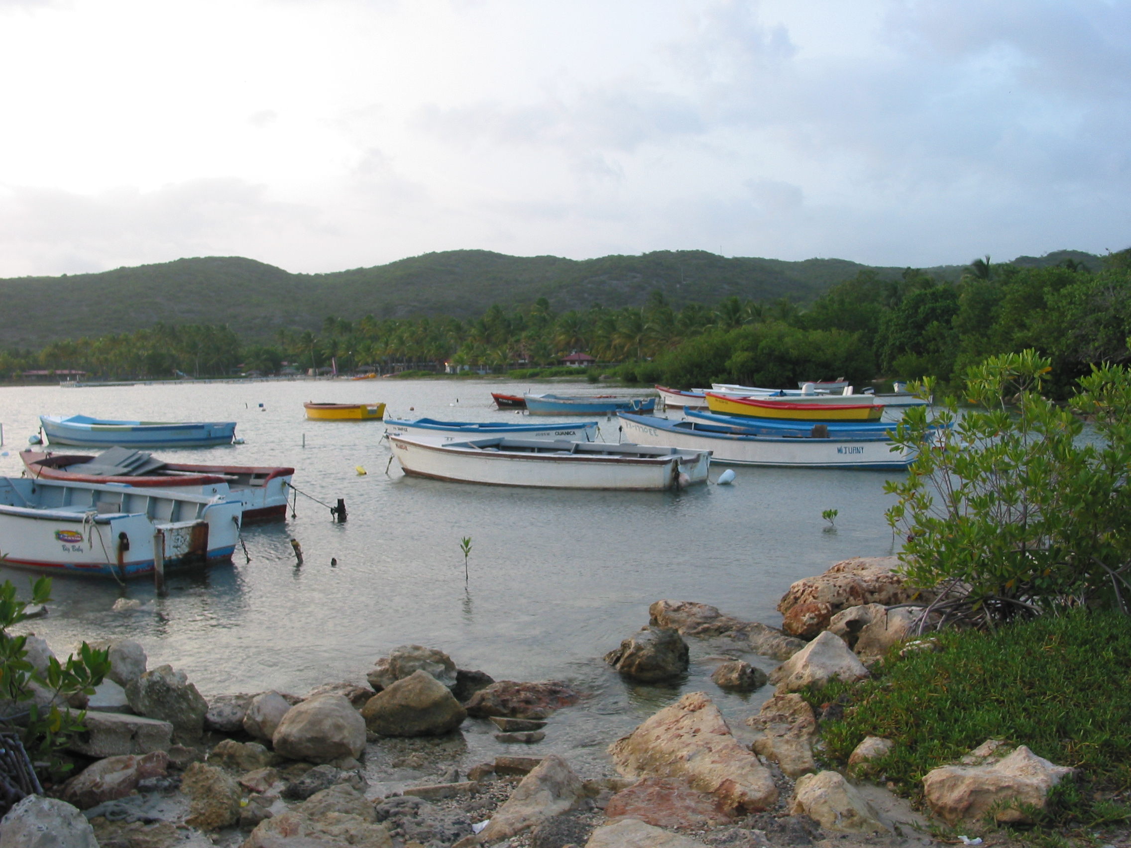
Great Level Bay, Bonaire, Sint Eustatius and Saba: Submarine Cable Landing Point
Great Level Bay is a submarine cable landing point located in Sint Eustatius and Saba, the Caribbean constituent country of the Kingdom of the Netherlands. As a coastal terminus, it forms part of the regional submarine cable infrastructure that connects the smaller islands of the northeastern Caribbean. One submarine cable lands at Great Level Bay, linking this location into a network that spans several island territories in the area.
The single cable landing here, the Saba, Statia Cable System (SSCS), establishes regional connectivity across a corridor of small island destinations in the northeastern Caribbean. The system connects Sint Eustatius and Saba with neighboring territories including Sint Maarten, Saint Kitts and Nevis, and Saint Barthélemy, forming an inter-island network across a geographically compact but politically diverse cluster of islands.
Cables Landing at Great Level Bay, Bonaire, Sint Eustatius and Saba
The Saba, Statia Cable System (SSCS) is 198 kilometres in length and reached ready-for-service status in 2013. The cable connects Sint Eustatius and Saba with Sint Maarten, Saint Barthélemy, and Saint Kitts and Nevis. The system is designated as a draft-status cable and serves as the primary subsea link tying these small northeastern Caribbean islands together. Great Level Bay serves as one of its landing points within Sint Eustatius and Saba.
Regional Context
Within Sint Eustatius and Saba, Great Level Bay is one of four submarine cable landing points, alongside Gallows Bay, Kralendijk, and North Salina, each of which also hosts a single cable. Sint Eustatius and Saba as a whole is served by three submarine cables distributed across these four landing points. Great Level Bay therefore represents one node in a distributed landing infrastructure spread across the territory's island geography.
Network Role
Great Level Bay functions as a single-cable terminus, providing connectivity through the SSCS to a small constellation of Caribbean island territories. The cable it hosts is notably shorter than the average cable length recorded across Sint Eustatius and Saba's infrastructure, reflecting its focus on short inter-island hops rather than long-distance intercontinental links. The corridor it enables is exclusively regional, connecting Sint Eustatius and Saba with Sint Maarten, Saint Barthélemy, and Saint Kitts and Nevis across a compact northeastern Caribbean network.
As a single-cable landing point within a four-node territorial system, Great Level Bay contributes to the distributed approach that Sint Eustatius and Saba employs in organizing its submarine cable connectivity across separate island landmasses. Its presence in the regional submarine cable graph reflects the practical necessity of serving geographically dispersed small islands through dedicated, shorter-distance cable links.
What next: Great Level Bay, Bonaire, Sint Eustatius and Saba in the global directory of cable landing points; see surrounding routes on the interactive submarine cable map or follow live network monitoring.
Other Landing Points in Sint Eustatius and Saba
Landing Point
- CountryBQ Sint Eustatius and Saba
- Coordinates17.6151°N 63.2442°W
- Connected Cables1
See Real Cable Routes
View actual submarine cable routing from Great Level Bay, Bonaire, Sint Eustatius and Saba - with backbone nodes, distance calculations, and latency estimates
Open Calculator →