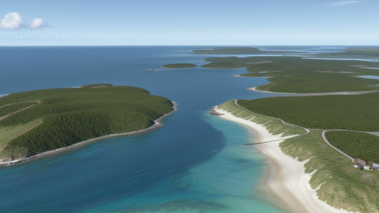
Kralendijk, Bonaire, Sint Eustatius and Saba
Landing Point · BQ Sint Eustatius and Saba
Connected Cables
| Cable | Status |
|---|---|
| CELIA | Planned |
📡 Live Performance
RTT measurements to this landing point from 2026-06-11 through 2026-07-11 - live ICMP round-trip time via our monitoring probes. Recomputed daily. ✓ No anomalies detected in the monitored period.
Measurement sources
| Probe | Location | Samples | Avg |
|---|---|---|---|
| #6410 own probe | Sao Paulo BR | 3 | 180.9 ms |
| #6427 own probe | Sydney AU | 3 | 303.3 ms |
| #6487 own probe | Singapore SG | 3 | 207.5 ms |
| #1014473 own probe | Minsk BY | 3 | 131.9 ms |
| #1016031 own probe | Kyiv UA | 2 | 121.4 ms |
| #1015563 own probe | Saint Petersburg RU | 1 | 179.4 ms |
About Kralendijk, Bonaire, Sint Eustatius and Saba
Kralendijk, Bonaire: Submarine Cable Landing Point
Kralendijk is the capital and main port of Bonaire, an island forming part of the Caribbean Netherlands in the southern Caribbean Sea. As a coastal settlement with direct access to regional maritime routes, Kralendijk serves as a submarine cable landing point connecting Bonaire to a broader network of Caribbean and North American territories. One submarine cable currently lands at Kralendijk, linking the island to a corridor that spans from the United States through the Lesser Antilles and the ABC islands.
The cable landing at Kralendijk is part of the CELIA system, a planned intercontinental and inter-island route that will connect Bonaire to destinations including the United States, Aruba, Curaçao, Martinique, Antigua and Barbuda, and Saint Barthélemy. This places Kralendijk within a wide Caribbean regional connectivity framework that reaches both the northern and eastern Caribbean island chains as well as the North American mainland.
Cables Landing at Kralendijk, Bonaire
CELIA is a submarine cable system with a total length of approximately 3,700 kilometres, with a scheduled ready-for-service date of 2027 and currently in draft status. The system connects Kralendijk, Bonaire to Antigua and Barbuda, Aruba, Curaçao, Martinique, Saint Barthélemy, and the United States. Its route spans much of the eastern and southern Caribbean, linking the Dutch Caribbean islands of Bonaire, Aruba, and Curaçao to French Caribbean territories and to a major North American hub, establishing a diverse multi-territory connection across the region.
Regional Context
Within Sint Eustatius and Saba — the broader administrative grouping that encompasses Bonaire among other Caribbean Netherlands islands — a total of three submarine cables land across four landing points. Alongside Kralendijk, the other landing points in this grouping are Gallows Bay, Great Level Bay, and North Salina, each hosting one cable. Kralendijk therefore shares an equal standing with its regional peers in terms of cable count, together forming the entirety of the submarine cable infrastructure across this territory.
Network Role
Kralendijk functions as a single-cable terminus within the planned CELIA system, connecting Bonaire directly into a multi-stop Caribbean and transatlantic corridor. Once CELIA reaches its 2027 ready-for-service date, the landing point will provide Bonaire with onward connectivity to five other Caribbean territories as well as to the United States, extending the island's reach across both the southern and eastern Caribbean arcs. At present, Kralendijk's role is that of a single-cable landing point rather than a multi-cable hub.
Within the regional submarine cable graph, Kralendijk's participation in the CELIA system places Bonaire alongside neighbouring Dutch Caribbean islands Aruba and Curaçao on the same cable route, reinforcing connectivity within the ABC island group while simultaneously extending links northward and eastward through the wider Caribbean chain.
Other Landing Points in Sint Eustatius and Saba
Landing Point
- CountryBQ Sint Eustatius and Saba
- Coordinates12.1443°N 68.2655°W
- Connected Cables1
See Real Cable Routes
View actual submarine cable routing from Kralendijk, Bonaire, Sint Eustatius and Saba - with backbone nodes, distance calculations, and latency estimates
Open Calculator →