Schoelcher, Martinique
Landing Point · MQ Martinique
2
Connected Cables
MQ
Country
14.63°
Latitude
61.11°
Longitude
Ctrl + Scroll to zoom
Connected Cables
| Cable | Status |
|---|---|
| ARIMAO | Active |
| Kanawa | Active |
About Schoelcher, Martinique
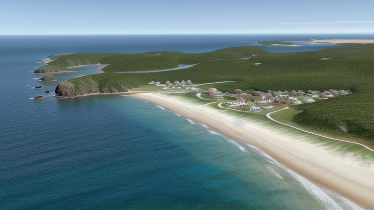
Schoelcher: A Key Submarine Cable Landing Point in Martinique
Schoelcher, a coastal town in Martinique, plays an important role in the island's connectivity with the world. While Martinique hosts five submarine cables across two landing points, Schoelcher is home to two of them: ARIMAO and Kanawa. These cables link Martinique to Cuba and French Guiana, respectively, forming critical connections within the Caribbean and South America.Two Cables, Two Directions
The ARIMAO cable, operational since 2023, spans 2470 kilometers and connects Schoelcher to Cienfuegos, Cuba. This direct link to Cuba highlights Schoelcher's role in regional Caribbean connectivity. The Kanawa cable, launched earlier in 2019, stretches 1746 kilometers and ties Schoelcher to Kourou, French Guiana. Together, these cables provide Martinique with reliable routes to neighboring countries, ensuring the island's integration into broader regional networks. Interestingly, Schoelcher is one of only two landing points in Martinique-the other being Le Lamentin, which hosts three cables. While Le Lamentin handles a larger share of the island's submarine cable infrastructure, Schoelcher's two cables are strategically positioned to diversify Martinique's international links. This balance between the two landing points ensures redundancy and resilience for the island's connectivity.Latency Measurements: Schoelcher's Performance
GeoCables' monitoring of Schoelcher's connectivity reveals an average round-trip latency of 147 milliseconds, with the best observed latency at 122 milliseconds. These numbers reflect the efficiency of the cables landing here, particularly in connecting Martinique to its regional partners. For businesses, institutions, and residents relying on fast and stable internet, Schoelcher's performance is a testament to the importance of its infrastructure.Regional Integration and Local Impact
The cables landing in Schoelcher are part of a larger network that ensures Martinique's connection to the global digital economy. While the island itself is not isolated-thanks to multiple landing points and five cables in total-the presence of ARIMAO and Kanawa in Schoelcher highlights the town's contribution to Martinique's connectivity strategy. These cables support everything from local businesses to international communications, bridging the gap between Martinique and its neighbors. Schoelcher may not host the majority of Martinique's cables, but its role in linking the island to Cuba and French Guiana is significant. As technology continues to evolve and demand for connectivity grows, this landing point will remain an essential piece of Martinique's digital puzzle.Schoelcher, Martinique in the global directory of cable landing points; see surrounding routes on the interactive submarine cable map or follow live network monitoring.
Other Landing Points in Martinique
Landing Point
- CountryMQ Martinique
- Coordinates14.6290°N 61.1121°W
- Connected Cables2
See Real Cable Routes
View actual submarine cable routing from Schoelcher, Martinique - with backbone nodes, distance calculations, and latency estimates
Open Calculator →
🌊 Submarine cables
🛤 Land fiber
📡 Live probes