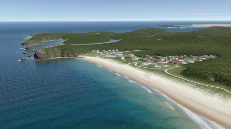
Rodney Bay, Saint Lucia
Landing Point · LC Saint Lucia
Connected Cables
| Cable | Status |
|---|---|
| Southern Caribbean Fiber | Active |
📡 Live Performance
RTT measurements to this landing point from 2026-07-14 through 2026-07-15 - live ICMP round-trip time via our monitoring probes. Recomputed daily. ✓ No anomalies detected in the monitored period.
Measurement sources
| Probe | Location | Samples | Avg |
|---|---|---|---|
| #6410 own probe | Sao Paulo BR | 2 | 149.3 ms |
| #6427 own probe | Sydney AU | 2 | 291.7 ms |
| #6487 own probe | Singapore SG | 2 | 299.1 ms |
| #1014473 own probe | Minsk BY | 2 | 204.4 ms |
| #1015932 own probe | Odessa UA | 2 | 218.0 ms |
| #1016031 own probe | Kyiv UA | 2 | 207.4 ms |
About Rodney Bay, Saint Lucia
Rodney Bay, Saint Lucia: Submarine Cable Landing Point
Rodney Bay is a town and bay situated on the northwestern coast of Saint Lucia, in the Gros Islet District. Saint Lucia is an island nation in the eastern Caribbean Sea and the largest of the Windward Islands, positioned within the Lesser Antilles chain. As a submarine cable landing point, Rodney Bay hosts one international submarine cable, connecting Saint Lucia to a network of neighbouring Caribbean island nations.
The single cable landing at Rodney Bay is the Southern Caribbean Fiber system, which links Saint Lucia to six other Caribbean territories spanning both the Windward and Leeward island groups. This connection situates Rodney Bay within a regional intra-Caribbean corridor, enabling direct submarine connectivity between Saint Lucia and islands including Martinique, Guadeloupe, Barbados, Dominica, Grenada, and Antigua and Barbuda.
Cables Landing at Rodney Bay, Saint Lucia
The Southern Caribbean Fiber cable is a regional submarine cable system measuring approximately 3,000 kilometres in length, with a ready-for-service (RFS) year of 2006. The cable connects Saint Lucia at Rodney Bay to six other Caribbean territories: Antigua and Barbuda, Barbados, Dominica, Grenada, Guadeloupe, and Martinique. Together, these landing points form a multi-island loop across the eastern Caribbean, serving both the Leeward and Windward island groups within the Lesser Antilles.
Regional Context
Within Saint Lucia, Rodney Bay shares the island's submarine cable infrastructure with Castries, the capital, which is the other landing point on the island and also hosts one submarine cable. The two landing points represent distinct locations on Saint Lucia's coastline, with Rodney Bay positioned to the northwest of the Castries District. Together, they form the complete picture of Saint Lucia's submarine cable connectivity.
Network Role
Rodney Bay functions as a single-cable terminus on the Southern Caribbean Fiber system, connecting Saint Lucia into a broader regional loop that spans the eastern Caribbean archipelago. Through this cable, the landing point enables direct submarine links to six Caribbean neighbours, covering a combined route of around 3,000 kilometres across the Lesser Antilles. The system's reach across both Windward and Leeward island groups means that Rodney Bay participates in a corridor that ties together some of the most geographically proximate yet individually small island nations in the Caribbean.
As a one-cable landing point, Rodney Bay is a terminus rather than a multi-cable hub, with its connectivity entirely dependent on the Southern Caribbean Fiber system. Within the regional submarine cable graph, the landing point represents one of two points of entry for submarine connectivity on Saint Lucia, reinforcing the island's integration into the wider eastern Caribbean network.
What next: Rodney Bay, Saint Lucia in the global directory of cable landing points; see surrounding routes on the interactive submarine cable map or follow live network monitoring.
Other Landing Points in Saint Lucia
Landing Point
- CountryLC Saint Lucia
- Coordinates14.0356°N 60.9886°W
- Connected Cables1
See Real Cable Routes
View actual submarine cable routing from Rodney Bay, Saint Lucia - with backbone nodes, distance calculations, and latency estimates
Open Calculator →