Kamorta, India
Landing Point · IN India
Connected Cables
| Cable | Status |
|---|---|
| Chennai-Andaman & Nicobar Islands Cable (CANI) | Active |
📡 Live Performance
RTT measurements to this landing point from 2026-03-25 through 2026-05-30 - live ICMP round-trip time via our monitoring probes. Recomputed daily. ✓ No anomalies detected in the monitored period.
Measurement sources
| Probe | Location | Samples | Avg |
|---|---|---|---|
| #1014589 own probe | Almaty KZ | 7 | 251.7 ms |
| #1014597 own probe | Tbilisi GE | 7 | 235.9 ms |
| #1014969 own probe | Jerusalem IL | 6 | 244.8 ms |
| #1014473 own probe | Minsk BY | 5 | 206.0 ms |
| #1015523 own probe | Moscow RU | 3 | 246.3 ms |
| #1015313 own probe | Sevastopol UA | 2 | 257.3 ms |
| #6410 own probe | Sao Paulo BR | 1 | 322.0 ms |
| #6487 own probe | Singapore SG | 1 | 82.8 ms |
| #7062 own probe | Cape Town ZA | 1 | 294.6 ms |
| #1015563 own probe | Saint Petersburg RU | 1 | 181.3 ms |
About Kamorta, India
Kamorta, India: Submarine Cable Landing Point
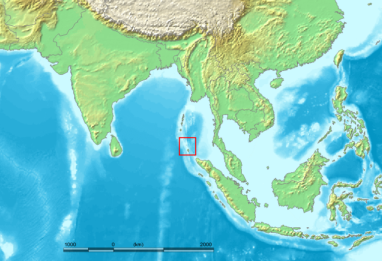
Kamorta is a landing point in India, situated in the Andaman and Nicobar Islands — the remote island chain extending into the Bay of Bengal and the Andaman Sea. As an island territory geographically separated from the Indian mainland, Kamorta's connection to the wider telecommunications network depends on submarine cable infrastructure. One submarine cable currently lands at Kamorta, linking the island to the Indian mainland.
The single cable serving Kamorta is the Chennai-Andaman & Nicobar Islands Cable (CANI), which runs entirely within Indian territory, connecting the island chain to the mainland city of Chennai. This makes Kamorta part of a domestic inter-island corridor rather than an international or intercontinental link. The CANI system represents a significant step in extending high-capacity submarine connectivity to one of India's more remote island territories.
Cables Landing at Kamorta
The Chennai-Andaman & Nicobar Islands Cable (CANI) is a 2,300-kilometre submarine cable that reached ready-for-service (RFS) status in 2020, with draft certification. The cable connects multiple landing points within India, running between Chennai on the southeastern coast of the mainland and several locations across the Andaman and Nicobar Islands, of which Kamorta is one. Both endpoints of the cable fall within Indian territory, making CANI a wholly domestic system designed to improve connectivity among India's island territories in the Bay of Bengal.
Regional Context
Within India's submarine cable landscape, Kamorta sits at the lower end of the scale in terms of cable count. India hosts 21 submarine cables across 26 landing points, with major hubs such as Mumbai (18 cables) and Chennai (9 cables) far exceeding Kamorta's single-cable presence. Kamorta is broadly comparable to other single-cable Indian landing points such as Agatti, Amini, and Andrott — all of which, like Kamorta, serve island communities with limited but targeted submarine cable connectivity.
Network Role
Kamorta functions as a single-cable terminus on the CANI system, serving the specific purpose of extending domestic submarine connectivity to the Andaman and Nicobar Islands. Rather than acting as a multi-cable hub or an international gateway, Kamorta's role is defined by the intra-national corridor it participates in — connecting a geographically isolated island to mainland India via Chennai. The CANI cable, at 2,300 kilometres, is considerably shorter than India's average submarine cable length of 8,059 kilometres, reflecting its domestic rather than transoceanic scope.
Within the broader Indian submarine cable graph, Kamorta represents one of several island-focused landing points that collectively extend national network reach beyond the mainland coastline. Its inclusion in the CANI system places it alongside other Andaman and Nicobar landing points served by the same cable, forming a domestic island connectivity tier that complements the international cables concentrated at larger mainland hubs.
What next: Kamorta, India in the global directory of cable landing points; see surrounding routes on the interactive submarine cable map or follow live network monitoring.
Other Landing Points in India
Landing Point
- CountryIN India
- Coordinates8.1722°N 93.4814°E
- Connected Cables1
See Real Cable Routes
View actual submarine cable routing from Kamorta, India - with backbone nodes, distance calculations, and latency estimates
Open Calculator →