Great Nicobar, India
Landing Point · IN India
Connected Cables
| Cable | Status |
|---|---|
| Chennai-Andaman & Nicobar Islands Cable (CANI) | Active |
📡 Live Performance
RTT measurements to this landing point from 2026-05-01 through 2026-07-05 - live ICMP round-trip time via our monitoring probes. Recomputed daily. ✓ No anomalies detected in the monitored period.
Measurement sources
| Probe | Location | Samples | Avg |
|---|---|---|---|
| #1014597 own probe | Tbilisi GE | 3 | 228.8 ms |
| #1014473 own probe | Minsk BY | 2 | 218.3 ms |
| #1014589 own probe | Almaty KZ | 2 | 247.8 ms |
| #1014969 own probe | Jerusalem IL | 2 | 234.8 ms |
| #1015523 own probe | Moscow RU | 2 | 218.0 ms |
| #6410 own probe | Sao Paulo BR | 1 | 256.1 ms |
| #6487 own probe | Singapore SG | 1 | 66.9 ms |
| #7062 own probe | Cape Town ZA | 1 | 294.3 ms |
| #1015313 own probe | Sevastopol UA | 1 | 246.6 ms |
About Great Nicobar, India
Great Nicobar: Submarine Cable Landing Point
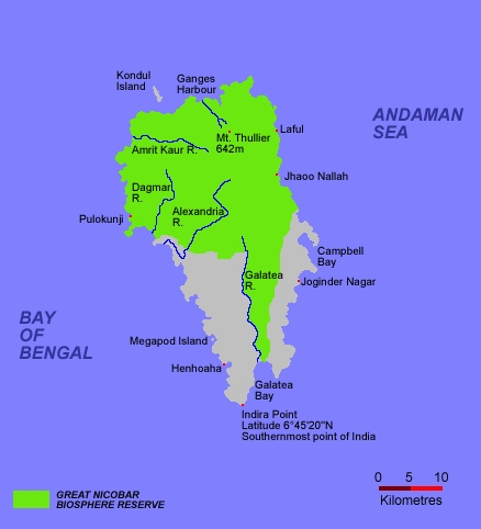
Great Nicobar is the southernmost and largest of the Nicobar Islands, forming part of India's union territory of the Andaman and Nicobar Islands. Situated north of Sumatra, it lies at a considerable geographic remove from the Indian mainland, making submarine cable connectivity particularly significant for the island's communications infrastructure. One submarine cable lands at Great Nicobar, connecting this remote island to India's national network.
The single cable serving Great Nicobar is the Chennai-Andaman & Nicobar Islands Cable (CANI), an intra-national system that links this island territory with the Indian mainland. The connection it provides represents the kind of domestic inter-island corridor that underpins reliable communications for remote island communities within the same national jurisdiction.
Cables Landing at Great Nicobar
The Chennai-Andaman & Nicobar Islands Cable (CANI) is a 2,300 km submarine cable system that reached ready-for-service (RFS) status in 2020, with a draft designation. The cable connects Great Nicobar and other points within the Andaman and Nicobar Islands to the Indian mainland. As both endpoints fall within India, CANI functions as a domestic cable system, serving the connectivity needs of India's island territories in the Bay of Bengal and the Andaman Sea.
Regional Context
Within India's submarine cable landscape — which spans 21 cables across 26 landing points — Great Nicobar hosts a single cable, placing it among the country's smaller landing points by cable count. It is comparable in this regard to fellow single-cable landing points such as Agatti, Amini, and Andrott, and stands at a distance from major Indian hubs like Mumbai, with 18 cables, and Chennai, with 9. Great Nicobar's ranking places it in the top 88 percent of Indian landing points by cable count, reflecting the relatively limited but present submarine cable infrastructure across India's island territories.
Network Role
Great Nicobar functions as a single-cable terminus rather than a multi-cable hub, served exclusively by the CANI system. This domestic cable provides the island's link to the Indian mainland, enabling communications between one of India's most geographically isolated territories and the broader national network. The cable's 2,300 km length reflects the substantial sea distance between the Nicobar Islands and mainland India.
Within the regional submarine cable graph, Great Nicobar's role is that of a terminal node on a domestic intra-island system. Its presence as a named landing point underlines the geographic extent of India's effort to extend submarine cable connectivity to its most distant island territories in the eastern Indian Ocean region.
What next: Great Nicobar, India in the global directory of cable landing points; see surrounding routes on the interactive submarine cable map or follow live network monitoring.
Other Landing Points in India
Landing Point
- CountryIN India
- Coordinates7.0313°N 93.9274°E
- Connected Cables1
See Real Cable Routes
View actual submarine cable routing from Great Nicobar, India - with backbone nodes, distance calculations, and latency estimates
Open Calculator →