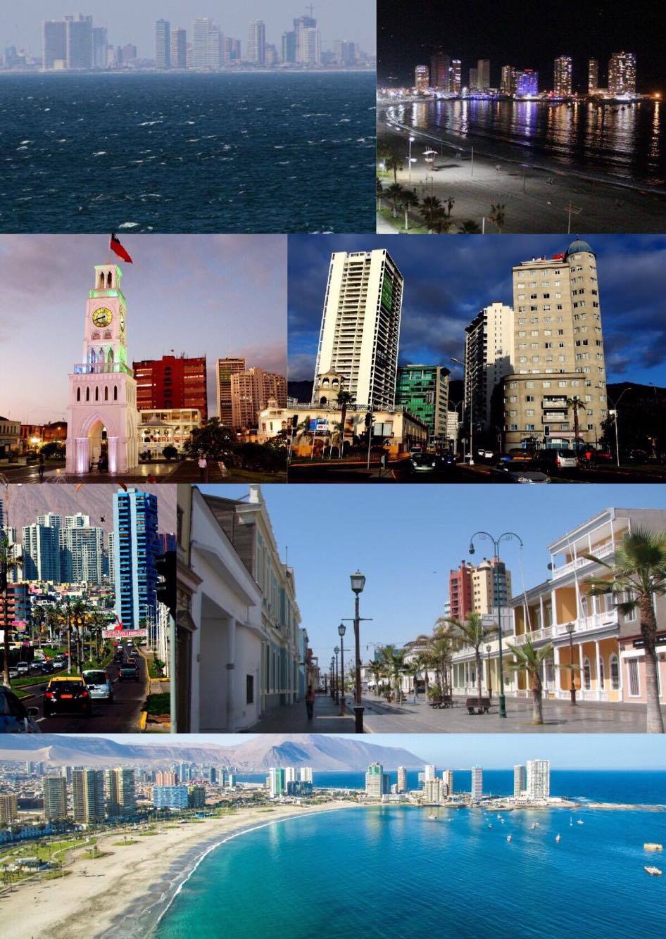
Iquique, Chile
Landing Point · CL Chile
Connected Cables
| Cable | Status |
|---|---|
| Prat | Active |
📡 Live Performance
RTT measurements to this landing point from 2026-04-20 through 2026-06-19 - live ICMP round-trip time via our monitoring probes. Recomputed daily. ✓ No anomalies detected in the monitored period.
Measurement sources
| Probe | Location | Samples | Avg |
|---|---|---|---|
| #1014473 own probe | Minsk BY | 7 | 257.2 ms |
| #1014589 own probe | Almaty KZ | 7 | 321.5 ms |
| #1014597 own probe | Tbilisi GE | 4 | 291.3 ms |
| #1014969 own probe | Jerusalem IL | 4 | 261.3 ms |
| #6410 own probe | Sao Paulo BR | 3 | 53.7 ms |
| #6487 own probe | Singapore SG | 3 | 310.5 ms |
| #7062 own probe | Cape Town ZA | 3 | 356.2 ms |
| #1015523 own probe | Moscow RU | 3 | 259.3 ms |
| #1015313 own probe | Sevastopol UA | 2 | 312.7 ms |
About Iquique, Chile
Iquique, Chile: Submarine Cable Landing Point
Iquique is a port city on the Pacific coast of northern Chile, serving as the capital of both the Iquique Province and the Tarapacá Region. Situated west of the Pampa del Tamarugal on the edge of the Atacama Desert, the city occupies a stretch of coastline that connects it to Chile's broader submarine cable network. One submarine cable currently lands at Iquique, linking the city to the national undersea communications infrastructure.
The single cable serving Iquique is the Prat system, a domestic cable that connects multiple points along the Chilean coast. Its presence positions Iquique as a node within a Chile-only corridor, enabling connectivity between coastal communities along one of the world's longest and most geographically isolated shorelines.
Cables Landing at Iquique
The Prat cable is the sole submarine cable landing at Iquique. Spanning approximately 3,500 kilometres, it reached its ready-for-service status in 2020 and remains in draft status. The cable connects landing points exclusively within Chile, making it a domestic system designed to serve the country's extended Pacific coastline rather than providing international or intercontinental links. Its considerable length reflects the geographic challenge of connecting Chile's far-flung coastal communities along the narrow strip of land between the Andes and the Pacific Ocean.
Regional Context
Within Chile's submarine cable landscape, which spans 14 landing points, Iquique ranks alongside a small group of single-cable landing points that includes Antofagasta, Caldera, Cartagena, and Constitución. The most connected landing point in the country is Valparaíso, served by five cables, while Arica — the nearest major city north of Iquique along the same coastline — hosts three cables. Iquique's single-cable configuration places it in the lower tier of Chilean landing points by cable count, though its position in the northern coastal corridor gives it a role distinct from more southerly nodes.
Network Role
Iquique functions as a single-cable terminus within a domestic Chilean submarine corridor. The Prat cable, at 3,500 kilometres, provides coastal connectivity along Chile's Pacific shoreline, and Iquique's inclusion on the system extends that reach into the Tarapacá Region of the far north. As a terminus rather than a multi-cable hub, the landing point does not offer route diversity or international onward connectivity through its submarine infrastructure.
In the wider Chilean submarine cable graph, Iquique represents one of several northern coastal nodes that together help distribute domestic connectivity across a country whose geography makes terrestrial alternatives along the coast both difficult and expensive. Its presence on the Prat system ensures that one of Chile's major northern port cities remains connected to the national undersea network.
What next: Iquique, Chile in the global directory of cable landing points; see surrounding routes on the interactive submarine cable map or follow live network monitoring.
Other Landing Points in Chile
Landing Point
- CountryCL Chile
- Coordinates20.2167°S 70.1422°W
- Connected Cables1
See Real Cable Routes
View actual submarine cable routing from Iquique, Chile - with backbone nodes, distance calculations, and latency estimates
Open Calculator →