Bluefields, Nicaragua
Landing Point · NI Nicaragua
Connected Cables
| Cable | Status |
|---|---|
| ARCOS | Active |
Live Performance
RTT measurements to this landing point from 2026-03-03 through 2026-09-29 - live ICMP round-trip time via our monitoring probes. Recomputed daily. ✓ No anomalies detected in the monitored period.
Measurement sources
| Probe | Location | Samples | Avg |
|---|---|---|---|
| own probe | Minsk BY | 16 | 179.0 ms |
| own probe | Almaty KZ | 10 | 237.6 ms |
| #6410 own probe | Sao Paulo BR | 8 | 146.7 ms |
| own probe | Tbilisi GE | 8 | 203.4 ms |
| own probe | Jerusalem IL | 8 | 201.2 ms |
| #6487 | control probe | 7 | 283.2 ms |
| own probe | Moscow RU | 7 | 171.8 ms |
| #6427 own probe | Sydney AU | 6 | 278.8 ms |
| own probe | Sevastopol UA | 3 | 202.3 ms |
| own probe | Saint Petersburg RU | 3 | 163.9 ms |
| #53601 | control probe | 1 | 114.2 ms |
| #1014261 | control probe | 1 | 98.7 ms |
| #1014262 | control probe | 1 | 72.7 ms |
| own probe | Kyiv UA | 1 | 177.0 ms |
About Bluefields, Nicaragua
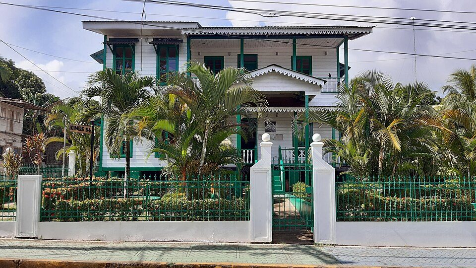
Bluefields, Nicaragua: Submarine Cable Landing Point
Bluefields is a city on the central Mosquito Coast of Nicaragua, serving as the capital of the South Caribbean Coast Autonomous Region. Positioned along Nicaragua's Caribbean shoreline, it is one of two submarine cable landing points in the country. A single submarine cable lands at Bluefields: the ARCOS system, a long-distance cable that connects Nicaragua to a wide arc of Caribbean and Central American nations.
The ARCOS cable, running 8,704 kilometres in total length, links Bluefields into a regional network that spans the Caribbean basin, connecting Nicaragua with the Bahamas, Belize, Colombia, Costa Rica, Curaçao, and the Dominican Republic. This places Bluefields within a corridor that is both inter-Caribbean and intercontinental in character, with connectivity extending northward through the island chains and southward toward South America.
Cables Landing at Bluefields, Nicaragua
ARCOS is an 8,704-kilometre submarine cable system that reached ready-for-service status in 2001. It lands at Bluefields alongside a series of other Caribbean and Central American endpoints, including the Bahamas, Belize, Colombia, Costa Rica, Curaçao, and the Dominican Republic. As a regional ring system, ARCOS connects a broad set of coastal communities across the western Caribbean and the Central American isthmus, and Bluefields represents Nicaragua's connection to this network.
Regional Context
Nicaragua's submarine cable infrastructure is served by two landing points: Bluefields and Puerto Cabezas, each hosting a single cable. Both are situated on the Caribbean coast, and together they account for the entirety of Nicaragua's international submarine cable connectivity. Bluefields and Puerto Cabezas each carry one cable, reflecting a distributed approach to landing submarine systems along the Mosquito Coast.
Network Role
Bluefields functions as a single-cable terminus on the ARCOS system, providing Nicaragua's Caribbean coast with direct connectivity to six other nations across the broader Caribbean region. The cable's 2001 ready-for-service date makes it one of the earliest pieces of submarine cable infrastructure to serve the Nicaraguan coastline, and its reach to countries as geographically diverse as the Bahamas and Colombia illustrates the wide corridor that ARCOS was designed to serve.
Within the submarine cable graph of the western Caribbean, Bluefields occupies one of Nicaragua's two coastal nodes, and its position on ARCOS ensures that the South Caribbean Coast Autonomous Region is connected to a network shared by major regional economies and smaller island territories alike. The presence of two geographically separated landing points in Nicaragua, rather than a single concentrated hub, distributes the country's submarine cable footprint across its lengthy Caribbean shoreline.
What next: Bluefields, Nicaragua in the global directory of cable landing points; see surrounding routes on the interactive submarine cable map or follow live network monitoring.
Our measurements to Bluefields
Traceroutes from our own measurement points over the last 30 days: usual delay and number of network hops on the way to Bluefields.
- From RIPE Atlas probes: 44 ms, 11 hops, 7 traces
Last trace: 2026-10-12. Live network map
Other Landing Points in Nicaragua
Landing Point
- CountryNI Nicaragua
- Coordinates11.9918°N 83.7715°W
- Connected Cables1
See Real Cable Routes
View actual submarine cable routing from Bluefields, Nicaragua - with backbone nodes, distance calculations, and latency estimates
Open Calculator →