Aldeburgh, United Kingdom
Landing Point · GB United Kingdom
Connected Cables
| Cable | Status |
|---|---|
| Farland North | Active |
Live Performance
RTT measurements to this landing point from 2026-04-10 through 2026-09-22 - live ICMP round-trip time via our monitoring probes. Recomputed daily. ✓ No anomalies detected in the monitored period.
Measurement sources
| Probe | Location | Samples | Avg |
|---|---|---|---|
| #11587 | control probe | 24 | 28.4 ms |
| own probe | Minsk BY | 18 | 37.4 ms |
| #6427 own probe | Sydney AU | 17 | 259.6 ms |
| own probe | Kyiv UA | 11 | 43.6 ms |
| own probe | Saint Petersburg RU | 7 | 43.0 ms |
| #6487 | control probe | 2 | 159.1 ms |
| own probe | Almaty KZ | 2 | 99.8 ms |
| own probe | Tbilisi GE | 2 | 64.2 ms |
| own probe | Jerusalem IL | 2 | 76.2 ms |
| own probe | Moscow RU | 2 | 51.0 ms |
| own probe | Odessa UA | 2 | 52.6 ms |
| #7062 own probe | Cape Town ZA | 1 | 150.4 ms |
About Aldeburgh, United Kingdom
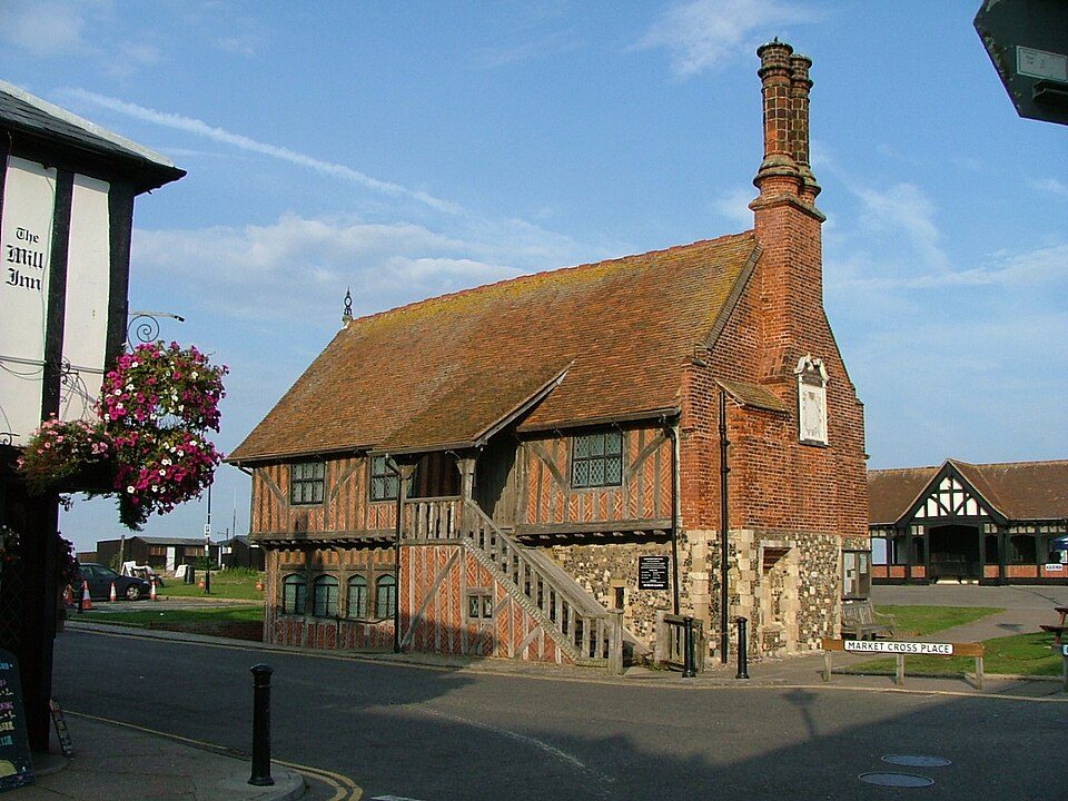
Aldeburgh: Submarine Cable Landing Point
Aldeburgh is a coastal town in the East Suffolk district of England, situated on the North Sea coast in the county of Suffolk. As a submarine cable landing point, Aldeburgh connects the United Kingdom to the European continent through a single undersea cable link. That connection runs to the Netherlands, placing Aldeburgh within the short cross-channel corridor that links the eastern coast of England to the North Sea's opposite shore.
The one submarine cable landing at Aldeburgh, the Farland North, establishes a direct link between the United Kingdom and the Netherlands. While Aldeburgh is a modest landing point by cable count, it nonetheless contributes to the broader fabric of United Kingdom submarine cable infrastructure, which spans 66 cables across 125 landing points nationally.
Cables Landing at Aldeburgh
The Farland North cable is the sole submarine cable landing at Aldeburgh. With a length of approximately 150 kilometres, it connects the United Kingdom to the Netherlands, spanning the southern North Sea. The cable reached ready-for-service status in 1998 and carries a draft status designation. At 150 kilometres, it represents a relatively short cross-sea route, reflecting the modest geographic distance between the eastern English coast and the Dutch coastline across the North Sea.
Regional Context
Within the United Kingdom's submarine cable landscape, Aldeburgh hosts a single cable, placing it among the smaller landing points in the country. Compared to regional peers such as Bude with eight cables, Lowestoft with six, and Blackpool with four, Aldeburgh's single-cable profile positions it toward the lower end of the national distribution. Aldeburgh ranks within the top 88 percent of the United Kingdom's 125 landing points by cable count, indicating that while the majority of UK landing points host more connections, a significant portion are similarly modest in scale.
Network Role
Aldeburgh functions as a single-cable terminus rather than a multi-cable hub. Its one connection, the Farland North, enables a direct submarine pathway between the United Kingdom and the Netherlands, supporting the short but significant North Sea corridor between the two countries. This bilateral link, completed in 1998, represents one of numerous cross-North Sea connections that collectively stitch together the submarine cable networks of northwestern Europe.
Within the broader United Kingdom submarine cable graph, Aldeburgh's role is narrowly defined but geographically specific: it provides a dedicated eastern English coastal entry point for traffic between the UK and the Netherlands, complementing the more heavily connected landing points distributed along Britain's coastlines.
What next: Aldeburgh, United Kingdom in the global directory of cable landing points; see surrounding routes on the interactive submarine cable map or follow live network monitoring.
Other Landing Points in United Kingdom
Landing Point
- CountryGB United Kingdom
- Coordinates52.1578°N 1.5906°E
- Connected Cables1
See Real Cable Routes
View actual submarine cable routing from Aldeburgh, United Kingdom - with backbone nodes, distance calculations, and latency estimates
Open Calculator →