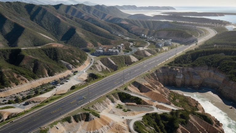
Puerto San Jose, Guatemala
Landing Point · GT Guatemala
Connected Cables
| Cable | Status |
|---|---|
| South America-1 (SAm-1) | Active |
| South Pacific Cable System (SPCS)/Mistral | Active |
📡 Live Performance
RTT measurements to this landing point from 2026-03-28 through 2026-07-18 - live ICMP round-trip time via our monitoring probes. Recomputed daily. ✓ No anomalies detected in the monitored period.
Measurement sources
| Probe | Location | Samples | Avg |
|---|---|---|---|
| #11257 | control probe | 122 | 101.4 ms |
| #6410 own probe | Sao Paulo BR | 54 | 129.6 ms |
| #6487 own probe | Singapore SG | 54 | 289.7 ms |
| #1014473 own probe | Minsk BY | 49 | 174.7 ms |
| #1015563 own probe | Saint Petersburg RU | 9 | 204.3 ms |
| #1014597 own probe | Tbilisi GE | 3 | 207.7 ms |
| #1014969 own probe | Jerusalem IL | 3 | 191.3 ms |
| #1014589 own probe | Almaty KZ | 2 | 240.9 ms |
About Puerto San Jose, Guatemala
Puerto San Jose, Guatemala: Submarine Cable Landing Point
Puerto San Jose is a town on Guatemala's Pacific Ocean coast, located in the department of Escuintla. As the largest town on Guatemala's Pacific coast, it serves as one of the country's two submarine cable landing points, hosting two international systems that connect Guatemala to destinations across South America and the broader Pacific basin. Together, these cables make Puerto San Jose a Pacific-facing node in Guatemala's submarine cable infrastructure.
The two cables landing at Puerto San Jose — South America-1 (SAm-1) and the South Pacific Cable System (SPCS)/Mistral — collectively reach six other countries: Argentina, Brazil, Chile, Colombia, the Dominican Republic, Ecuador, and Peru. This range of connectivity spans both the South American Pacific and Atlantic coasts, linking Puerto San Jose into a wide intercontinental corridor stretching down the western flank of South America and across to its eastern reaches.
Cables Landing at Puerto San Jose
South America-1 (SAm-1) is a 25,000 km cable system that entered service in 2001, making it the first submarine cable to land in Guatemala. Beyond Puerto San Jose, SAm-1 connects to Argentina, Brazil, Chile, Colombia, the Dominican Republic, and Ecuador. Its length and the breadth of its country set reflect a system designed to interconnect much of the South American continent, including both Pacific and Atlantic coastal nations, while also reaching northward to Central America and the Caribbean.
South Pacific Cable System (SPCS)/Mistral is a 7,300 km cable that entered service in 2021. It connects Puerto San Jose to Chile, Ecuador, and Peru, linking Guatemala directly into a South American Pacific corridor. As the more recently deployed of the two systems at this landing point, SPCS/Mistral represents a later generation of Pacific connectivity for Guatemala's western coast.
Regional Context
Guatemala's six submarine cables arrive across two landing points. Puerto Barrios, on Guatemala's Caribbean coast, hosts five of those cables, making it the more heavily served of the two landing points. Puerto San Jose, with two cables, provides the country's dedicated Pacific coast connectivity, complementing the Caribbean-facing infrastructure at Puerto Barrios.
Network Role
Puerto San Jose functions as a two-cable landing point oriented entirely toward the Pacific and South American corridor. SAm-1 provides a long-haul intercontinental connection reaching both Pacific and Atlantic shores of South America, while SPCS/Mistral offers a more focused link along the South American Pacific coast. Together, these two systems give Puerto San Jose a distinct role as Guatemala's Pacific cable gateway.
In the regional submarine cable graph, Puerto San Jose represents the western anchor of Guatemala's cable infrastructure, ensuring that the country's Pacific coast is served by both an early-generation intercontinental system and a more recent regional cable, collectively reaching seven countries across South America and the Caribbean.
What next: Puerto San Jose, Guatemala in the global directory of cable landing points; see surrounding routes on the interactive submarine cable map or follow live network monitoring.
Other Landing Points in Guatemala
FAQ
Landing Point
- CountryGT Guatemala
- Coordinates13.9346°N 90.8222°W
- Connected Cables2
See Real Cable Routes
View actual submarine cable routing from Puerto San Jose, Guatemala - with backbone nodes, distance calculations, and latency estimates
Open Calculator →