Mangalia, Romania
Landing Point · RO Romania
Connected Cables
| Cable | Status |
|---|---|
| KAFOS | Active |
Live Performance
RTT measurements to this landing point from 2026-03-11 through 2026-10-06 - live ICMP round-trip time via our monitoring probes. Recomputed daily. ✓ No anomalies detected in the monitored period.
Measurement sources
| Probe | Location | Samples | Avg |
|---|---|---|---|
| #6427 own probe | Sydney AU | 6 | 285.7 ms |
| own probe | Minsk BY | 6 | 70.8 ms |
| own probe | Tbilisi GE | 6 | 58.5 ms |
| #6410 own probe | Sao Paulo BR | 5 | 204.9 ms |
| own probe | Odessa UA | 5 | 36.6 ms |
| own probe | Almaty KZ | 4 | 116.9 ms |
| own probe | Jerusalem IL | 4 | 67.3 ms |
| own probe | Moscow RU | 3 | 51.9 ms |
| own probe | Kyiv UA | 3 | 32.3 ms |
| #2552 | control probe | 1 | 117.9 ms |
| #6429 | control probe | 1 | 10.0 ms |
| own probe | Sevastopol UA | 1 | 33.7 ms |
| own probe | Rostov RU | 1 | 69.6 ms |
About Mangalia, Romania
How the Internet Reaches Mangalia
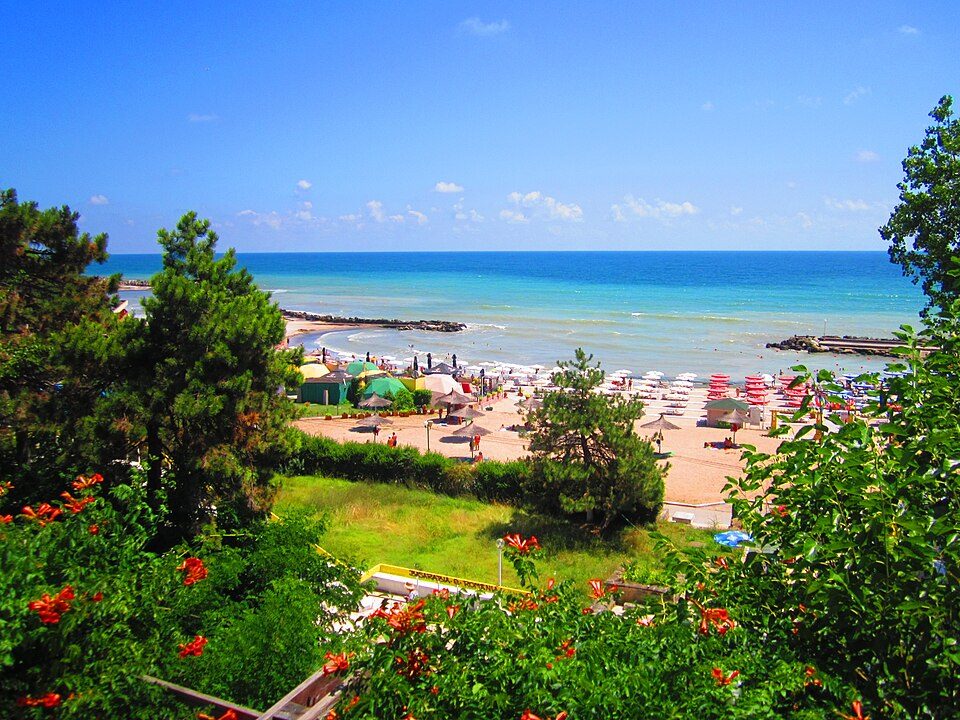
Mangalia is a port city on the Black Sea coast in the south-east of Constanța County, Romania. Its position on the western shore of the Black Sea places it at one end of a regional submarine cable corridor connecting Romania to Bulgaria and Turkey. International internet traffic reaching Mangalia arrives via a single submarine cable - the KAFOS cable - which lands directly at this point, making Mangalia Romania's sole submarine cable landing point.
Because Romania's entire submarine cable infrastructure terminates here, Mangalia is not a secondary node along a larger corridor but the definitive entry point for undersea connectivity into the country. All international traffic traveling over submarine cable infrastructure into or out of Romania passes through this single landing point on the Black Sea.
The Cable Serving Mangalia
The KAFOS cable is a 538 km submarine cable that entered service in 1997. It connects Mangalia to Igneada, Turkey, Istanbul, Turkey, and Varna, Bulgaria, forming a regional triangle across the western Black Sea. Through its Turkish landing points - particularly Istanbul - the cable provides onward connectivity toward broader international networks. The Bulgarian landing at Varna adds a direct regional link to a neighbouring Black Sea nation. At 538 km, KAFOS is a relatively short cable by global standards, reflecting the contained geography of the western Black Sea basin.
Regional Context
Romania hosts just one submarine cable across a single landing point - Mangalia. This stands in contrast to many European nations that benefit from multiple cables landing at several coastal cities. Within the western Black Sea region, Mangalia sits alongside Varna (Bulgaria) and the Turkish landing points at Igneada and Istanbul as the cluster of cities served by the KAFOS cable. Of these, Istanbul in particular functions as a major regional hub connecting onward to broader international infrastructure.
What This Means for Connectivity
All of Romania's international submarine cable traffic flows through a single cable - KAFOS - at a single landing point in Mangalia. This means any disruption to the KAFOS cable directly affects the country's undersea cable connectivity. The destinations reachable via this infrastructure are Bulgaria and Turkey, with Istanbul serving as the gateway toward wider international networks beyond the Black Sea.
Romania's reliance on one cable at one landing point makes Mangalia an unusually concentrated node in national internet infrastructure terms. Understanding this helps explain how a small Black Sea port city carries outsized significance in the topology of Romania's international internet routing - and why the western Black Sea submarine cable network, though compact, plays a direct role in connecting Romania to the broader internet.
What next: Mangalia, Romania in the global directory of cable landing points; see surrounding routes on the interactive submarine cable map or follow live network monitoring.
Our measurements to Mangalia
Traceroutes from our own measurement points over the last 30 days: usual delay and number of network hops on the way to Mangalia.
- From RIPE Atlas probes: 33 ms, 11 hops, 5 traces
Last trace: 2026-10-16. Live network map
Landing Point
- CountryRO Romania
- Coordinates43.8172°N 28.5828°E
- Connected Cables1
See Real Cable Routes
View actual submarine cable routing from Mangalia, Romania - with backbone nodes, distance calculations, and latency estimates
Open Calculator →