L’Île-Rousse, France
Landing Point · FR France
1
Connected Cables
FR
Country
42.64°
Latitude
8.94°
Longitude
Ctrl + Scroll to zoom
Connected Cables
| Cable | Status |
|---|---|
| Corse-Continent 4 (CC4) | Active |
Live Performance
52
measurements
10
probes
163
days monitored
106.8
ms avg RTT
0
anomalies
RTT measurements to this landing point from 2026-03-10 through 2026-08-20 - live ICMP round-trip time via our monitoring probes. Recomputed daily. ✓ No anomalies detected in the monitored period.
Measurement sources
| Probe | Location | Samples | Avg |
|---|---|---|---|
| Our point 4 own probe | 11 | 47.2 ms | |
| Our point 6 own probe | 8 | 69.6 ms | |
| #6427 own probe | Sydney AU | 7 | 271.7 ms |
| #6487 | control probe | 7 | 161.4 ms |
| Our point 5 own probe | 6 | 59.8 ms | |
| Our point 8 own probe | 3 | 108.7 ms | |
| Our point 7 own probe | 3 | 73.8 ms | |
| Our point 2 own probe | 3 | 57.2 ms | |
| Our point 1 own probe | 2 | 101.7 ms | |
| Our point 10 own probe | 2 | 82.6 ms |
About L’Île-Rousse, France
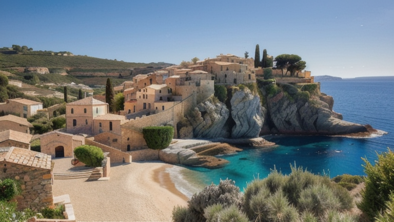
Connectivity at L’Île-Rousse: A Quiet Link in Corsica
L’Île-Rousse, nestled on the northern coast of Corsica, is home to a single submarine cable landing point. While it might not boast the dense connectivity of Marseille's 16 cables or even Ajaccio's two, its role in the regional network is understated yet essential. The cable landing here, Corse-Continent 4 (CC4), connects Corsica to mainland France via Cannes, spanning 190 km. Operational since 1992, this cable serves as one of the few digital links tying Corsica to the national network.Regional Context: A Sparse Network on Corsica
Corsica’s submarine cable infrastructure is modest, with only four landing points: L’Île-Rousse, Ajaccio, Bastia, and Bonifacio. Each hosts just one or two cables, a stark contrast to mainland France, where hubs like Marseille dominate with 16 cables and serve as international gateways. For Corsica, the CC4 cable at L’Île-Rousse is entirely domestic, connecting the island to Cannes rather than directly to international destinations. This limited connectivity highlights Corsica's reliance on the mainland for broader network access.Latency Insights: Reliable but Not Lightning Fast
GeoCables’ monitoring has recorded 37 latency checks to L’Île-Rousse from 10 source cities. The average round-trip latency sits at 100 milliseconds, with the best observed at 46 milliseconds. While these numbers are respectable for a domestic link, they underscore the cable's role as a regional connector rather than a high-speed international route.The Role of L’Île-Rousse in Corsica’s Connectivity
L’Île-Rousse’s single cable might seem modest, but it plays a key part in Corsica’s digital infrastructure. The island’s rugged terrain and relative isolation make submarine cables indispensable for reliable communication with mainland France. While Ajaccio, Bastia, and Bonifacio share the responsibility of connecting Corsica, L’Île-Rousse’s position on the northern coast ensures that the island’s network is distributed and resilient.A Link in the Chain
The CC4 cable is part of a broader domestic chain that stitches Corsica into the French network. With Cannes as its mainland counterpart, the cable ensures that data flows seamlessly between Corsica and the continent. Although L’Île-Rousse does not directly connect to international cables, its role in the domestic network keeps Corsica connected to the wider world via hubs like Marseille.Conclusion
L’Île-Rousse may not be a bustling hub of submarine cable activity, but its single connection is a quiet yet steady contributor to Corsica’s digital lifeline. As part of the CC4 cable, it ensures that the northern part of the island remains linked to the mainland, supporting local businesses, residents, and services. In the broader context of France’s 34 submarine cables, L’Île-Rousse stands as a reminder that even a single cable can make a difference in connecting remote regions to the national network.What next: L’Île-Rousse, France in the global directory of cable landing points; see surrounding routes on the interactive submarine cable map or follow live network monitoring.
Other Landing Points in France
FR Ajaccio, France
41.9193°N 8.7386°E
FR Bastia, France
42.6973°N 9.4509°E
FR Bonifacio, France
41.3904°N 9.1690°E
FR Calvi, France
42.5631°N 8.7547°E
FR Cannes, France
43.5529°N 7.0174°E
FR Cayeux-sur-Mer, France
50.1788°N 1.4934°E
FR Héliopolis, France
43.0193°N 6.4404°E
FR La Seyne, France
43.1029°N 5.8781°E
FR La Tour Fondue, France
43.0301°N 6.1544°E
FR Lannion, France
48.7303°N 3.4599°W
FR Le Lavandou, France
43.1380°N 6.3667°E
FR Le Porge, France
44.8938°N 1.2119°W
Landing Point
- CountryFR France
- Coordinates42.6365°N 8.9371°E
- Connected Cables1
See Real Cable Routes
View actual submarine cable routing from L’Île-Rousse, France - with backbone nodes, distance calculations, and latency estimates
Open Calculator →
Submarine cables
Land fiber
Live probes